01
Represent
Store diverse geospatial fields implicitly in neural-network weights.
Benchmark & Hackathon
Learning continuous representations of our planet.
7–8 December 2026 · University of Bonn
24-hour overnight sprint · 5 teams · English
Mission
Most geospatial information is stored as rasters, grids, vector layers, or other discrete formats. These representations are powerful, but often resolution-dependent, storage-intensive, and difficult to combine across heterogeneous data sources.
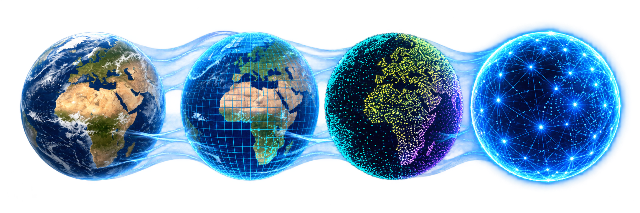
Neural Earth Fields explores a different paradigm: encoding geospatial information in neural-network parameters and querying it continuously from geographic coordinates.
The idea
Interdisciplinary teams will build compact neural models that take longitude and latitude as input and reconstruct multiple global geospatial layers. You bring the architecture; we provide the data, an evaluation harness, and a starter kit to get you running from day one. Benchmark results and reproducible submissions remain publicly available after the event, contributing to an open ecosystem for the community.
01
Store diverse geospatial fields implicitly in neural-network weights.
02
Reconstruct information continuously at geographic coordinates.
03
Evaluate reconstruction quality together with parameter efficiency.
Benchmark
Every team receives the same curated global dataset and a common evaluation framework. The initial benchmark brings together three complementary views of the planet.
Physical Earth
A time series of total water storage anomaly maps derived from gravity observations.
Earth observation
A high-resolution global land-cover map representing discrete surface classes.
Living Earth
Biodiversity observations describing the spatial distribution of species.
Event

Event location
IMPULSE is the University of Bonn’s House for Intellectual Innovation and Creativity—a place for inspiration, intellectual encounter, and creative collaboration.
Its mission is grounded in the idea that academic work thrives through receiving and sharing impulses. As a dedicated hub for inter- and transdisciplinary innovation, it is a natural home for teams bringing geospatial science and AI together.
Adenauerallee 131 · 53113 Bonn
Learn more about IMPULSE ↗Program
Day 1 · 12:00–16:00
Introductory modules, benchmark briefing, team formation, and technical setup.
Overnight · 16:00–08:00
Code through the night with mentors on hand and the leaderboard live. Basic sleeping arrangements provided — bring a sleeping bag.
Day 2 · 09:00–12:00
Consolidation, team presentations, jury review, awards, and closing.
Who should apply?
We are looking for Master's students and PhD candidates with a background in either geospatial science or machine learning/AI — you don't need both. The organizers match participants into two-person teams across complementary expertise. Selection aims for disciplinary, international, and gender diversity.
See full criteria and timeline →Applications
We are looking for early-career researchers — Master's students and PhD candidates at any stage — with strong expertise in either geospatial science or machine learning/AI. Teams are intentionally matched across both domains, so you do not need to cover both.
Top teams receive a certificate and a commemorative trophy. All reproducible submissions remain on the public benchmark leaderboard after the event.
Apply now →Team
 Marc Rußwurm
University of Bonn
Marc Rußwurm
University of Bonn
 Jürgen Gall
University of Bonn
Jürgen Gall
University of Bonn
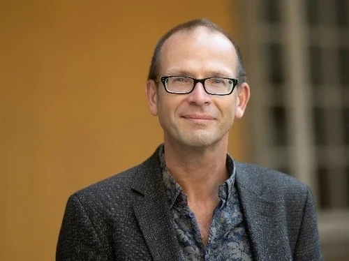 Jürgen Kusche
University of Bonn
Jürgen Kusche
University of Bonn
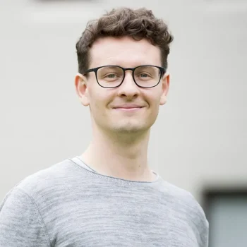 Konstantin Klemmer
UCL
Konstantin Klemmer
UCL
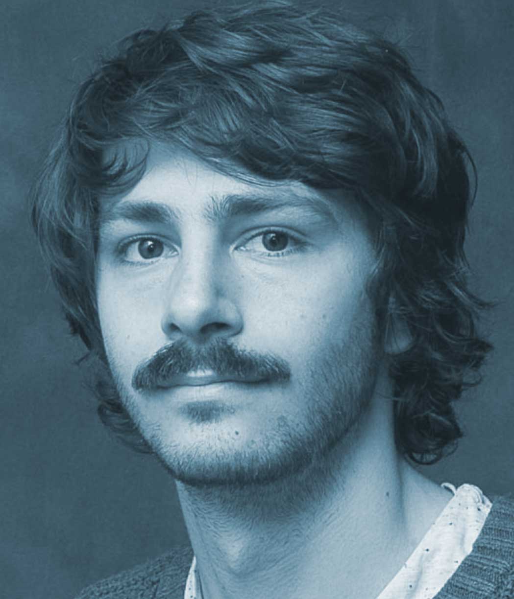 Alistair Francis
Asterisk Labs
Alistair Francis
Asterisk Labs
 Isaac Corley
Taylor Geospatial
Isaac Corley
Taylor Geospatial
 Kyle Gao
Aalto University
Kyle Gao
Aalto University
Supported by
The benchmark and hackathon are made possible by partners across the University of Bonn and the international geospatial research community.